| |
 |
Details: |
 |
|
|
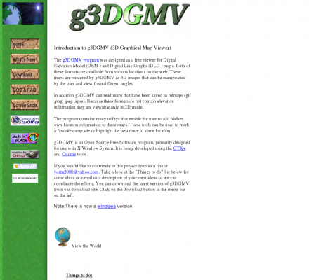
A free 3D viewer for Digital Elevation Model (DEM ) and Digital Line Graphs (DLG ) maps. (free, with code) [linux, requires GTK+]
|
| URL: |
http://g3dgmv.sourceforge.net/
|
| Title: |
|
| Image: |
 |
| Description: |
Science, Social Sciences, Geography, Geographic Information Systems - 3D Graphical Map Viewer (g3DGVM). A free 3D viewer for Digital Elevation Model (DEM ) and Digital Line Graphs (DLG ) maps. |
| Similar: |
|
|
|
Related Sites |
|
GIS Development (Popularity:  ): GIS content and news site with a focus towards Asia. ): GIS content and news site with a focus towards Asia.
GISuser (Popularity: ): Site delivers the latest news, feature articles, and updates concerning the use of GIS, LBS, GPS, and geospatial technologies.
Example Code (Popularity: ): Forum features information and resources related to GIS.
Center for Advanced Spatial Technologies (Popularity: ): Research center at the University of Arkansas, United States. Site contains resources for archaeologists, earth scientists and GIS specialists.
Blogmapper (Popularity: ): Blogmapper lets you associate blog entries with hot spots on a map. When you click on the spots, the entries ...
Marinamap.com (Popularity: ): Find marinas by mouseclick on the marinamap sea chart.
Nature Conservancy (Popularity: ): Provides staff and partners with GIS knowledge, systems, data, maps, and community resources. Some sections are limited to Conservancy and ...
Golf Mapping (Popularity: ): GPS service is an efficient method of gathering a complete data set of a golf course. The data set provides ...
GIS Jobs Clearinghouse (Popularity: ): Database of job openings in geographic information systems, remote sensing, and related fields.
GeoWeb Interactive (Popularity: ): Repository of job and resume postings for the GIS industry.
Golden Software (Popularity: ): Offers Surfer and MapViewer software programs.
FAA Obstacle Evaluation Software (Popularity: ): Analysis software for design of tall architectural structures compliant to aviation regulations.
|
|
Popular Sites |
|
Satellite Imaging Corporation (Popularity: ): Provides satellite image processing from Landsat, Ikonos, Spot, QuickBird sensors and production services including digital aerial photography, digital elevation models ...
GIS Development (Popularity: ): GIS content and news site with a focus towards Asia.
3D landscape visualization for MAXON CINAMA 4D (Popularity: ): Offers wire-meshes for the rendering software MAXON CINEMA 4D taken from the GTOPO30 dataset of the U.S. Geogical Survey. Also ...
Galigeo (Popularity: ): Company provides tools for geomarketing, cartography, CRM, business intelligence.
GISCOE Web Services (Popularity: ): Cost effective Internet hosting solution for viewing geographic data via the web.
|
|
Related Press |
|
TomTom releases New Maps for all European regions (Popularity: ): TomTom, a leading provider of personal navigation products and services, today announced it is launching new maps for European regions ...
TV Season Premieres Spur Continued Gains in Online Video Viewing as September Attracts Record Viewership (Popularity: ): comScore, Inc. (Nasdaq: SCOR), a leader in measuring the digital world, today released September 2009 data from the comScore Video ...
New Portable GPS Navigation System with Music Player, and Picture Viewer (Popularity: ): TeleType Company has just released a successor to its innovative product line that blends cutting-edge vehicle GPS navigation with MP3 ...
Spectacular Light Show Available in the US From 3 P.M. PST: The Gemenids Meteor Shower Will be Broadcast from Israel via the Internet on December 13, 2006 (Popularity: ): A new, spectacular meteor observing & detection service, will be available, at no cost, to anyone in the world with ...
Small Businesses Benefit from International Marketing Funds (Popularity: ): More and more small businesses are looking to foreign markets to increase their product sales, as demand for American food ...
|
|
Related Articles |
|
|
|


