| |
 |
Details: |
 |
|
|
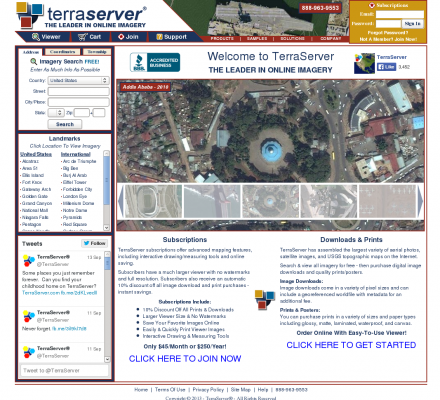
Online subscription service providing access to a database of high resolution satellite and overhead imagery from all over the world.
|
| URL: |
http://terraserver.com/
|
| Title: |
TerraServer - The Leader In Online Imagery - Aerial Photos & Satellite Images |
| Image: |
 |
| Description: |
Science, Earth Sciences, Geomatics, Photogrammetry - TerraServer. Online subscription service providing access to a database of high resolution satellite and overhead imagery from all over the world. |
| Specialized in: |
Aerial Photography
-
Posters
-
Imagery
-
Aerial
-
Satellite
-
Maps
-
Mapping
-
Gis
|
|
|
Related Sites |
|
Environmental Remote Sensing Center (Popularity:  ): Remote Sensing and Digital Photogrammetry. Chairs: Dr. Thomas Lillesand and Dr. Frank Scarpace. ): Remote Sensing and Digital Photogrammetry. Chairs: Dr. Thomas Lillesand and Dr. Frank Scarpace.
Inpho (Popularity: ): Supplier of systems for aerial triangulation, DTM modeling, image matching, and feature extraction
DAT/EM Systems International (Popularity: ): Software for digital mapping and photogrammetry.
MAN Mapping Services Home (Popularity: ): Topographic mapping, GIS base data and digital orthophoto imagery services under the supervision of Larry Mumford and Bob Niepert.
GeoLas Consulting (Popularity: ): Provides consulting services for imaging laser altimetry/airborne laser mapping technology and applications, and 3D geodata processing and visualization services.
LaFave White & McGivern LS PC (Popularity: ): Land Surveying and Photogrammetric Mapping
Cartwright Aerial Surveys, Inc. (Popularity: ): Photogrammetric services including aerial photography, digital topographic mapping, orthophotography, and digital terrain modeling.
National Aerial Resources (Popularity: ): Provides aerial photography services including research and acquisition of aerial photography.
Aero Geometrics (Popularity: ): Aerial survey and digital mapping.
Airborne 1 Corporation (Popularity: ): Operates across the United States with Lidar technology to create digital maps for land surveying firms.
Digital Mapping Systems Ptyv Ltd (Popularity: ): Manufacturers of photogrammetric software for producing raster and vector data from single aerial images (with DEM) or from stereo images.
|
|
Popular Sites |
|
National Aerial Resources (Popularity: ): Provides aerial photography services including research and acquisition of aerial photography.
DAT/EM Systems International (Popularity: ): Software for digital mapping and photogrammetry.
Ace Aerial Photography, Inc (Popularity: ): Aerial photography, topographic mapping and digital orthophotos services along with a large inventory of historical aerial negatives.
Environmental Remote Sensing Center (Popularity: ): Remote Sensing and Digital Photogrammetry. Chairs: Dr. Thomas Lillesand and Dr. Frank Scarpace.
MAN Mapping Services Home (Popularity: ): Topographic mapping, GIS base data and digital orthophoto imagery services under the supervision of Larry Mumford and Bob Niepert.
|
|
|


