| |
 |
Details: |
 |
|
|
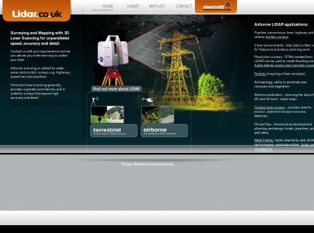
Independent survey consultants providing quality control of airborne laser scanning and GPS ground control and survey of calibration sites.
|
| URL: |
http://www.lidar.co.uk/
|
| Title: |
--- Lidar services and laser scanning consultancy for quality control and acquisition of digital terrain models and topography by remote sensing --- |
| Image: |
 |
| Description: |
Science, Earth Sciences, Geomatics, Remote Sensing - Lidar Services. Independent survey consultants providing quality control of airborne laser scanning and GPS ground control and survey of calibration sites. |
| Specialized in: |
Airborne
-
Laser
-
Scanning
-
Lazer
-
Lidar
-
Digital
-
Terrain
-
Modelling
-
Model
-
Ins
-
Navigation
-
System
-
Als
-
Dem
-
Tin
-
Ground
-
Control
-
Remote
-
Sensing
-
Imagery
|
|
|
Related Sites |
|
InfraMation - The Thermographers Conference (Popularity:  ): Annual conference to be held September 29 through October 2 in Orlando, Florida, for infrared camera users and thermographers involved ... ): Annual conference to be held September 29 through October 2 in Orlando, Florida, for infrared camera users and thermographers involved ...
Epsilon Nought - Radar Remote Sensing (Popularity: ): Epsilon nought gives an introduction into radar remote sensing and related problems with tutorials, excercises, demo data sets as well ...
Earthnet Online (Popularity: ): Earth Observation Data from the European Space Agency.
Landsat 7 (Popularity: ): United States Geological Survey (USGS): Landsat 7 satellite images.
Earth Search (Popularity: ): Hyperspectral imaging technology by Earth Search offers a powerful economic tool for mineral exploration and environmental research.
Spectral Imaging, Ltd. (Popularity: ): Develops and produces market imaging spectrometry instrumentation for industrial machine vision and spectral analysis, airborne remote sensing and scientific applications.
MacDonald Dettwiler (MDA) (Popularity: ): Plays active role in virtually every phase of information delivery, from Earth observation satellite missions and space-borne communications to ground ...
GER Proprietary Systems (Popularity: ): Airborne, portable, radar, and space technologies.
TerraSystems, Inc. (Popularity: ): Earth and planetary remote sensing for environmental monitoring, land use, and resource management.
ASD: Welcome to Analytical Spectral Devices, Inc. (Popularity: ): Details of an instrument which is aboard the Terra (EOS AM-1) satellite that is viewing the entire Earth's surface every ...
Earth Resource Mapping Corporation (Popularity: ): Satellite images, world maps and image management software.
Top Scene Rehearsal and Simulation Systems (Popularity: ): Software from Lockheed Martin Missiles and Fire Control that produces the Tactical Operational Scene (TOPSCENE) mission rehearsal system for the ...
|
|
Popular Sites |
|
InfraMation - The Thermographers Conference (Popularity: ): Annual conference to be held September 29 through October 2 in Orlando, Florida, for infrared camera users and thermographers involved ...
Epsilon Nought - Radar Remote Sensing (Popularity: ): Epsilon nought gives an introduction into radar remote sensing and related problems with tutorials, excercises, demo data sets as well ...
Earth Search (Popularity: ): Hyperspectral imaging technology by Earth Search offers a powerful economic tool for mineral exploration and environmental research.
Top Scene Rehearsal and Simulation Systems (Popularity: ): Software from Lockheed Martin Missiles and Fire Control that produces the Tactical Operational Scene (TOPSCENE) mission rehearsal system for the ...
Landsat 7 (Popularity: ): United States Geological Survey (USGS): Landsat 7 satellite images.
|
|
Related Press |
|
|
Related Articles |
|
|
|


