Home Submit URL Add to Favorite Contact
           26 April, 2024
 
    
Science » Social Sciences » Geography » Cartography

UPDATE INFO | REPORT BROKEN LINK

DeLorme

Popularity:    Hit: 1086
Details:
Products include Street Atlas USA, Topo USA, Earthmate GPS Receiver, The Atlas & Gazetteer series and other maps.
URL: http://www.delorme.com/
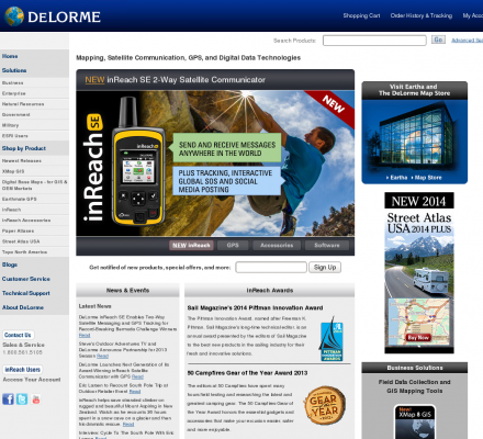
Title: DeLorme GPS, Maps & Data: NEW! PN-40 GPS - Blazing-fast handheld GPS, with dual-core processor & high-sensitivity Cartesio chipset. Also offering XMap 6 GIS with database synchronization, powerful LT-40 GPS, Street Atlas USA 2009 and the State Atlas & Gazetteer Series
Image:
Description: NEW! Earthmate GPS PN-40. DeLorme is the leader in expert cartographic technology for Handheld GPS, professional mobile GIS, digital map data, GPS receivers for navigation & the OEM GPS market. Providing solutions for hikers, RVers, fishermen, bicyclers, hunters, families on vacation, engineers, surveyors, land developers, emergency response, search and rescue workers, and energy field workers in the oil & gas, wind & solar sectors
Specialized in: Handheld Gps - Topo - Topographic - Street Maps - Topo Usa - Gis

Related Sites 
Mapcraft Custom Cartography (Popularity: ): Well researched and intricately drawn maps for publishers, museums, tourism, legal and commercial uses
The National Geographic Society (Popularity: ): Explore National Geographic Online. A world leader in geography, cartography and exploration.
Versamap Digital Mapping (Popularity: ): Versamap draws outline maps on many map projections. Print publication quality maps, or export maps in vector graphic (WMF, CGM, ...
Eureka Cartography (Popularity: ): Custom maps and globes. Distinctive digital map production and design since 1983. Custom cartography for publications, multimedia and web.
Creative Force Inc. (Popularity: ): Digital and custom city county state metro and street maps in Illustrator FreeHand and CorelDRAW. Mapping and graphic design services ...
The United States Army Corps of Engineers (Popularity: ): The USACE is responsible for investigating, developing and maintaining the nation's water and related environmental resources. A great source for ...
Clover Point Cartographics (Popularity: ): Geographic Information Systems. We at Clover Point Cartographics Ltd. continually strive to uphold the highest standards of professional integrity as ...
Maps of the World (Popularity: ): Digital royalty-free maps covering the entire contemporary world. Maps fully modifiable in programs like Adobe Illustrator.
Solid Terrain Modeling (Popularity: ): STM creates physical 3D terrain models from digital data.
Learn2Map (Popularity: ): GIS tutorial, free maps, free GIS program.


Popular Sites
Maps of the World (Popularity: ): Digital royalty-free maps covering the entire contemporary world. Maps fully modifiable in programs like Adobe Illustrator.
Clover Point Cartographics (Popularity: ): Geographic Information Systems. We at Clover Point Cartographics Ltd. continually strive to uphold the highest standards of professional integrity as ...
Eureka Cartography (Popularity: ): Custom maps and globes. Distinctive digital map production and design since 1983. Custom cartography for publications, multimedia and web.
The National Geographic Society (Popularity: ): Explore National Geographic Online. A world leader in geography, cartography and exploration.
Versamap Digital Mapping (Popularity: ): Versamap draws outline maps on many map projections. Print publication quality maps, or export maps in vector graphic (WMF, CGM, ...