| |
 |
Details: |
 |
|
|
Downloadable digital maps in Illustrator, Photoshop, WMF, EPS and JPEG formats.
|
| URL: |
http://www.presentationmaps.com/
|
| Title: |
USA, US State, Europe, World, Editable PowerPoint & Illustrator Digital Vector Clipart Maps |
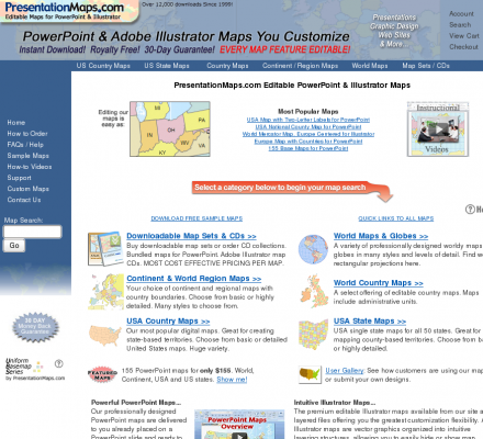
| Image: |
 |
| Description: |
Science, Social Sciences, Geography, Cartography - PresentationMaps.com. Downloadable digital maps in Illustrator, Photoshop, WMF, EPS and JPEG formats. |
| Specialized in: |
Vector Maps
-
Alabama
-
Alaska
-
Arizona
-
Arkansas
-
California
-
Connecticut
-
Delaware
-
Florida
-
Georgia
-
Idaho
-
Illinois
-
Indiana
-
Iowa
-
Kansas
-
Kentucky
-
Louisiana
-
Maine
-
Maryland
-
Massachusetts
|
|
|
Related Sites |
|
CHK America (Popularity:  ): Creates maps for business, governments and publishers world wide. ): Creates maps for business, governments and publishers world wide.
Navionics Vector Cartography (Popularity: ): Navionics' contains 15,000 charts and port plans
Eureka Cartoraphy - custom maps and globes (Popularity: ): Custom cartography for publications, multimedia and web.
Wild Life Mapping (Popularity: ): Provide accurate mapping for the conservation and sustainable management of wildlife
North Arrow Cartographic Design (Popularity: ): Creating custom designed maps for business, publishing, and special occasions.
Latitude Cartography (Popularity: ): Map making for landowners, developers, researchers, authorities and organisations.
34 North (Popularity: ): Graphic design specializes in maps and digital cartography
Washington Map Society (Popularity: ): An informal organization of people interested in cartography, cartographic history, and collecting maps, both old and new.
BestCityMaps.com Digital City Maps (Popularity: ): Digital City Maps on demand. City Maps for Publishing, Real State and Tourism Purposes.
North American Cartographic Information Society (Popularity: ): NACIS is a professional society dedicated to the advancement and cooperation of all cartographic disciplines. Members include practicing cartographers, educators, ...
Maps In Minutes (Popularity: ): Worldwide political and physical editable digital maps and globes for all media.
|
|
Popular Sites |
|
Maps of the World (Popularity: ): Digital royalty-free maps covering the entire contemporary world. Maps fully modifiable in programs like Adobe Illustrator.
Clover Point Cartographics (Popularity: ): Geographic Information Systems. We at Clover Point Cartographics Ltd. continually strive to uphold the highest standards of professional integrity as ...
Eureka Cartography (Popularity: ): Custom maps and globes. Distinctive digital map production and design since 1983. Custom cartography for publications, multimedia and web.
The National Geographic Society (Popularity: ): Explore National Geographic Online. A world leader in geography, cartography and exploration.
Versamap Digital Mapping (Popularity: ): Versamap draws outline maps on many map projections. Print publication quality maps, or export maps in vector graphic (WMF, CGM, ...
|
|
|


