| |
 |
Details: |
 |
|
|
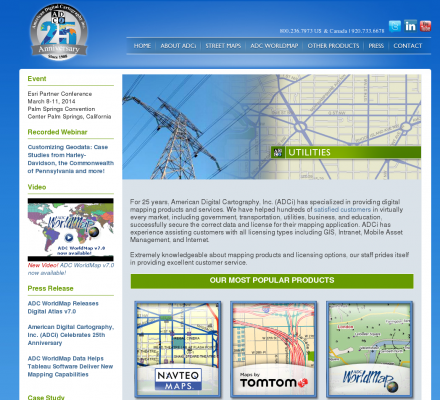
Providers of digital mapping data for use with CAD and GIS systems.
|
| URL: |
http://www.adci.com/
|
| Title: |
ADCi Your Digital Mapping Resource |
| Image: |
 |
| Description: |
Science, Social Sciences, Geography, Geographic Information Systems - American Digital Cartography, Inc.. Providers of digital mapping data for use with CAD and GIS systems. |
| Specialized in: |
Street Maps
-
Mapping
|
|
|
Related Sites |
|
GIS Development (Popularity:  ): GIS content and news site with a focus towards Asia. ): GIS content and news site with a focus towards Asia.
GISuser (Popularity: ): Site delivers the latest news, feature articles, and updates concerning the use of GIS, LBS, GPS, and geospatial technologies.
Example Code (Popularity: ): Forum features information and resources related to GIS.
Center for Advanced Spatial Technologies (Popularity: ): Research center at the University of Arkansas, United States. Site contains resources for archaeologists, earth scientists and GIS specialists.
Blogmapper (Popularity: ): Blogmapper lets you associate blog entries with hot spots on a map. When you click on the spots, the entries ...
Marinamap.com (Popularity: ): Find marinas by mouseclick on the marinamap sea chart.
Nature Conservancy (Popularity: ): Provides staff and partners with GIS knowledge, systems, data, maps, and community resources. Some sections are limited to Conservancy and ...
Golf Mapping (Popularity: ): GPS service is an efficient method of gathering a complete data set of a golf course. The data set provides ...
GIS Jobs Clearinghouse (Popularity: ): Database of job openings in geographic information systems, remote sensing, and related fields.
GeoWeb Interactive (Popularity: ): Repository of job and resume postings for the GIS industry.
Infoshare: Community Data on New York City (Popularity: ): Profile and compare neighborhoods, and produce original tables.
Go Spatial Limited (Popularity: ): Producer of digital geographic data suitable for reference base mapping at global, regional or national levels.
|
|
Popular Sites |
|
Satellite Imaging Corporation (Popularity: ): Provides satellite image processing from Landsat, Ikonos, Spot, QuickBird sensors and production services including digital aerial photography, digital elevation models ...
GIS Development (Popularity: ): GIS content and news site with a focus towards Asia.
3D landscape visualization for MAXON CINAMA 4D (Popularity: ): Offers wire-meshes for the rendering software MAXON CINEMA 4D taken from the GTOPO30 dataset of the U.S. Geogical Survey. Also ...
Galigeo (Popularity: ): Company provides tools for geomarketing, cartography, CRM, business intelligence.
GISCOE Web Services (Popularity: ): Cost effective Internet hosting solution for viewing geographic data via the web.
|
|
Related Press |
|
Digital scales Compares, Reviews & helps you buy the Best Digital Scales (Popularity: ): Their goal is to help and guide costumers to compare various scales like digital Scales, jewellery scales, pocket scales, digital ...
Digital Display Systems | Web Based Solutions | Digital Signage (Popularity: ): Digital display systems by Rise Vision assists in all your web based solutions focusing on internet display control that enables ...
Characteristics of Portable Digital Scale (Popularity: ): Portable Digital Scale wholesale
LCD Digital Scale Portable Digital Scale wholesale from chinaDigital food scales simplify day-to-day measuring tasks for a ...
Aerialforce Comment on UK's State of Preparation for Digital Switchover (Popularity: ): United Kingdom, 14 February, 2011 - Aerialforce, a leading UK supplier of satellite, home entertainment, digital aerial installations and services, ...
MXP4 Interactive Music's New Digital Music Technology Gets 6.5 Million Dollar Boost (Popularity: ): PARIS - MXP4 Interactive Music is shaking up the digital music world with its new, interactive digital audio format; music ...
|
|
Related Articles |
|
|
|


