| |
 |
Details: |
 |
|
|
Supplier of systems for aerial triangulation, DTM modeling, image matching, and feature extraction
|
| URL: |
http://www.inpho.de/
|
| Title: |
inpho - leader in photogrammetry and digital terrain modeling |
| Image: |
 |
| Description: |
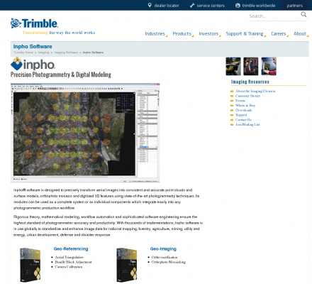
INPHO is an end-to-end photogrammetric systems supplier. INPHO products cover the entire workflow of photogrammetric projects, including aerial triangulation, stereo compilation, terrain modeling, orthophoto production and image capture. In addition, INPHO offers innovative software solutions for processing digital terrain models, including advanced filtering and editing of LIDAR data. |
| Specialized in: |
Digital Photogrammetry
-
Lidar
-
Data Capture
-
Digital Elevation Models
-
Dem
-
Mapping
|
|
|
Related Sites |
|
TerraSaurus (Popularity:  ): Specializes in GPS referenced digital aerial photography and aerial photographic interpretation. Includes sample photos, equipment, project details, publications, and company ... ): Specializes in GPS referenced digital aerial photography and aerial photographic interpretation. Includes sample photos, equipment, project details, publications, and company ...
Western Air Maps (Popularity: ): Aerial photography and photogrammetric mapping, digital and analog. Includes overview of company and services, client testimonials, employment opportunities and images.
I.F. Rooks & Associates, Inc. (Popularity: ): Aerial photography and digital photogrammetry throughout Florida and the United States.
Siradel (Popularity: ): Supplier of low and high resolution topographic data bases including 3D city models, Digital Terrain Models, land use mapping and ...
Continental Aerial Surveys (Popularity: ): Surveying and digital mapping using a variety of GPS surveying and digital imaging technologies.
Eastern Topographics (Popularity: ): Aerial photography and photogrammetric mapping services, digital and analog. Existing photography available throughout New England, including the entire state of ...
Offset Services Limited (Popularity: ): Photogrammetry, as-built computer models, and CAD from survey data.
LaFave White & McGivern LS PC (Popularity: ): Land Surveying and Photogrammetric Mapping
Base Mapping (Popularity: ): Provide mapping services such as digital terrain analysis, orthophotos, photogrammetry, aerial photography and scanning working with public, private and government ...
Airborne 1 Corporation (Popularity: ): Operates across the United States with Lidar technology to create digital maps for land surveying firms.
Environmental Remote Sensing Center (Popularity: ): Remote Sensing and Digital Photogrammetry. Chairs: Dr. Thomas Lillesand and Dr. Frank Scarpace.
DAT/EM Systems International (Popularity: ): Software for digital mapping and photogrammetry.
|
|
Popular Sites |
|
National Aerial Resources (Popularity: ): Provides aerial photography services including research and acquisition of aerial photography.
DAT/EM Systems International (Popularity: ): Software for digital mapping and photogrammetry.
Ace Aerial Photography, Inc (Popularity: ): Aerial photography, topographic mapping and digital orthophotos services along with a large inventory of historical aerial negatives.
Environmental Remote Sensing Center (Popularity: ): Remote Sensing and Digital Photogrammetry. Chairs: Dr. Thomas Lillesand and Dr. Frank Scarpace.
MAN Mapping Services Home (Popularity: ): Topographic mapping, GIS base data and digital orthophoto imagery services under the supervision of Larry Mumford and Bob Niepert.
|
|
|


