| |
 |
Details: |
 |
|
|
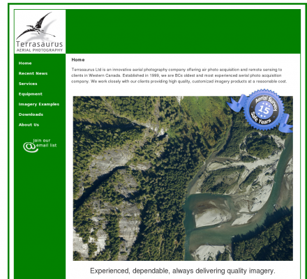
Specializes in GPS referenced digital aerial photography and aerial photographic interpretation. Includes sample photos, equipment, project details, publications, and company background.
|
| URL: |
http://terrasaurus.ca/
|
| Title: |
Terrassaurus | Digital Aerial Photography |
| Image: |
 |
| Description: |
Science, Earth Sciences, Geomatics, Photogrammetry - TerraSaurus. Specializes in GPS referenced digital aerial photography and aerial photographic interpretation. |
| Similar: |
|
|
|
Related Sites |
|
Environmental Remote Sensing Center (Popularity:  ): Remote Sensing and Digital Photogrammetry. Chairs: Dr. Thomas Lillesand and Dr. Frank Scarpace. ): Remote Sensing and Digital Photogrammetry. Chairs: Dr. Thomas Lillesand and Dr. Frank Scarpace.
Inpho (Popularity: ): Supplier of systems for aerial triangulation, DTM modeling, image matching, and feature extraction
DAT/EM Systems International (Popularity: ): Software for digital mapping and photogrammetry.
TerraServer (Popularity: ): Online subscription service providing access to a database of high resolution satellite and overhead imagery from all over the world.
MAN Mapping Services Home (Popularity: ): Topographic mapping, GIS base data and digital orthophoto imagery services under the supervision of Larry Mumford and Bob Niepert.
GeoLas Consulting (Popularity: ): Provides consulting services for imaging laser altimetry/airborne laser mapping technology and applications, and 3D geodata processing and visualization services.
LaFave White & McGivern LS PC (Popularity: ): Land Surveying and Photogrammetric Mapping
Cartwright Aerial Surveys, Inc. (Popularity: ): Photogrammetric services including aerial photography, digital topographic mapping, orthophotography, and digital terrain modeling.
National Aerial Resources (Popularity: ): Provides aerial photography services including research and acquisition of aerial photography.
Aero Geometrics (Popularity: ): Aerial survey and digital mapping.
Ace Aerial Photography, Inc (Popularity: ): Aerial photography, topographic mapping and digital orthophotos services along with a large inventory of historical aerial negatives.
Nor East Mapping (Popularity: ): Aerial photography, orthophotography and topographic mapping to private and governmental agencies.
|
|
Popular Sites |
|
National Aerial Resources (Popularity: ): Provides aerial photography services including research and acquisition of aerial photography.
DAT/EM Systems International (Popularity: ): Software for digital mapping and photogrammetry.
Ace Aerial Photography, Inc (Popularity: ): Aerial photography, topographic mapping and digital orthophotos services along with a large inventory of historical aerial negatives.
Environmental Remote Sensing Center (Popularity: ): Remote Sensing and Digital Photogrammetry. Chairs: Dr. Thomas Lillesand and Dr. Frank Scarpace.
MAN Mapping Services Home (Popularity: ): Topographic mapping, GIS base data and digital orthophoto imagery services under the supervision of Larry Mumford and Bob Niepert.
|
|
|


