| |
 |
Details: |
 |
|
|
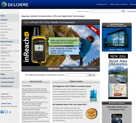
Maps, mapping products, GPS products.
|
| URL: |
http://www.delorme.com/
|
| Title: |
DeLorme GPS, Maps & Data: NEW! PN-40 GPS - Blazing-fast handheld GPS, with dual-core processor & high-sensitivity Cartesio chipset. Also offering XMap 6 GIS with database synchronization, powerful LT-40 GPS, Street Atlas USA 2009 and the State Atlas & Gazetteer Series |
| Image: |
 |
| Description: |
NEW! Earthmate GPS PN-40. DeLorme is the leader in expert cartographic technology for Handheld GPS, professional mobile GIS, digital map data, GPS receivers for navigation & the OEM GPS market. Providing solutions for hikers, RVers, fishermen, bicyclers, hunters, families on vacation, engineers, surveyors, land developers, emergency response, search and rescue workers, and energy field workers in the oil & gas, wind & solar sectors |
| Specialized in: |
Handheld Gps
-
Topo
-
Topographic
-
Street Maps
-
Topo Usa
-
Gis
|
|
|
Related Sites |
|
Carmenta (Popularity:  ): Provides GIS and positioning systems to aid decision-making based on geographic information. ): Provides GIS and positioning systems to aid decision-making based on geographic information.
ISO/TC 211 (Popularity: ): Organization that is establishing a structured set of standards for digital geographic information.
ISTAR (Popularity: ): Provider of digital mapping products, 3D models, true orthoimages, digital terrain models and other geographic databases.
Geosat, Ltd. (Popularity: ): International company offering services in various Earth exploration and development fields including remote sensing techniques such as satellite imagery, DEM, ...
AltaLIS (Popularity: ): Cadastral, topographical and small scale digital maps of Alberta.
Grupo Mercator (Popularity: ): Venezuelan based company offering a range of services including geodetic, cadastral and hydrographic surveys, GPS and GIS.
Geodetic Solutions (Popularity: ): Resource for geodetic consulting and contracting and custom software development.
Tricad (Popularity: ): Provide services in CAD, GIS, RS, AM/FM, digital photogrammetry, e-mapping and related spatial information technologies.
Geomatic Consulting International (Popularity: ): Survey and mapping services to the infrastructure, construction and development industries. Offers both technical and consulting services through offices in ...
Microsearch GeoLab Professional (Popularity: ): Free and commercial software for survey network adjustments of any combination of GPS and conventional measurements.
Geographic Communication Systems (Popularity: ): Geospatial information technology company providing web-based mapping and imagery solutions using ESRI's ArcGIS software products, image compression technologies and remote ...
|
|
Popular Sites |
|
Microsearch GeoLab Professional (Popularity: ): Free and commercial software for survey network adjustments of any combination of GPS and conventional measurements.
Geomatic Consulting International (Popularity: ): Survey and mapping services to the infrastructure, construction and development industries. Offers both technical and consulting services through offices in ...
Tricad (Popularity: ): Provide services in CAD, GIS, RS, AM/FM, digital photogrammetry, e-mapping and related spatial information technologies.
Geodetic Solutions (Popularity: ): Resource for geodetic consulting and contracting and custom software development.
Grupo Mercator (Popularity: ): Venezuelan based company offering a range of services including geodetic, cadastral and hydrographic surveys, GPS and GIS.
|
|
|
|


