| |
 |
Details: |
 |
|
|
Provides Web sites with the ability to display vector maps and associate textual information.
|
| URL: |
http://www.caris.com/
|
| Title: |
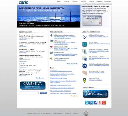
CARIS Geospatial Software Solutions |
| Image: |
 |
| Description: |
CARIS develops,sells, and supports geospatial software solutions for marine, hydrographic and land applications. This web site features software for electronic navigational chart production, hydrographic production database, hydrographic data processing, bathymetric data management, maximizing territorial claims, enterprise GIS (Geographic information software), desktop mapping and web mapping as well as support, training, alliance and academic partnerships, downloads and events. |
| Specialized in: |
Gis
-
Software
-
Freeware
-
Events
-
Downloads
-
Free
-
Support
-
Careers
-
Training
-
Academics
-
News
-
Press Releases
|
|
 |
Related Sites |
 |
GIS Development (Popularity:  ): GIS content and news site with a focus towards Asia. ): GIS content and news site with a focus towards Asia.
GISuser (Popularity:  ): Site delivers the latest news, feature articles, and updates concerning the use of GIS, LBS, GPS, and geospatial technologies. ): Site delivers the latest news, feature articles, and updates concerning the use of GIS, LBS, GPS, and geospatial technologies.
Example Code (Popularity:  ): Forum features information and resources related to GIS. ): Forum features information and resources related to GIS.
Center for Advanced Spatial Technologies (Popularity:  ): Research center at the University of Arkansas, United States. Site contains resources for archaeologists, earth scientists and GIS specialists. ): Research center at the University of Arkansas, United States. Site contains resources for archaeologists, earth scientists and GIS specialists.
Blogmapper (Popularity:  ): Blogmapper lets you associate blog entries with hot spots on a map. When you click on the spots, the entries ... ): Blogmapper lets you associate blog entries with hot spots on a map. When you click on the spots, the entries ...
Marinamap.com (Popularity:  ): Find marinas by mouseclick on the marinamap sea chart. ): Find marinas by mouseclick on the marinamap sea chart.
Nature Conservancy (Popularity:  ): Provides staff and partners with GIS knowledge, systems, data, maps, and community resources. Some sections are limited to Conservancy and ... ): Provides staff and partners with GIS knowledge, systems, data, maps, and community resources. Some sections are limited to Conservancy and ...
Golf Mapping (Popularity:  ): GPS service is an efficient method of gathering a complete data set of a golf course. The data set provides ... ): GPS service is an efficient method of gathering a complete data set of a golf course. The data set provides ...
GIS Jobs Clearinghouse (Popularity:  ): Database of job openings in geographic information systems, remote sensing, and related fields. ): Database of job openings in geographic information systems, remote sensing, and related fields.
GeoWeb Interactive (Popularity:  ): Repository of job and resume postings for the GIS industry. ): Repository of job and resume postings for the GIS industry.
I-Maps Internet Map Server (Popularity:  ): Provides mapping utilities that allow access to geographically related information. GIS applications available for any type of spatial data. ): Provides mapping utilities that allow access to geographically related information. GIS applications available for any type of spatial data.
Natural Area Coding System (Popularity:  ): Products for web pages, that support vector maps with unlimited map layers and hyperlinks. ): Products for web pages, that support vector maps with unlimited map layers and hyperlinks.
|
 |
Popular Sites |
 |
Satellite Imaging Corporation (Popularity:  ): Provides satellite image processing from Landsat, Ikonos, Spot, QuickBird sensors and production services including digital aerial photography, digital elevation models ... ): Provides satellite image processing from Landsat, Ikonos, Spot, QuickBird sensors and production services including digital aerial photography, digital elevation models ...
GIS Development (Popularity:  ): GIS content and news site with a focus towards Asia. ): GIS content and news site with a focus towards Asia.
3D landscape visualization for MAXON CINAMA 4D (Popularity:  ): Offers wire-meshes for the rendering software MAXON CINEMA 4D taken from the GTOPO30 dataset of the U.S. Geogical Survey. Also ... ): Offers wire-meshes for the rendering software MAXON CINEMA 4D taken from the GTOPO30 dataset of the U.S. Geogical Survey. Also ...
Galigeo (Popularity:  ): Company provides tools for geomarketing, cartography, CRM, business intelligence. ): Company provides tools for geomarketing, cartography, CRM, business intelligence.
GISCOE Web Services (Popularity:  ): Cost effective Internet hosting solution for viewing geographic data via the web. ): Cost effective Internet hosting solution for viewing geographic data via the web.
|
 |
Related Press |
 |
|
|
