| |
 |
Details: |
 |
|
|
Maker of photogrammetry and imagery tools including SOCETsim.
|
| URL: |
http://www.socetset.com/
|
| Title: |
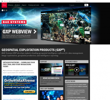
BAE Systems - Geospatial eXploitation Products |
| Image: |
 |
| Description: |
Science, Earth Sciences, Geomatics, Photogrammetry - Visual Information Products. Maker of photogrammetry and imagery tools including SOCETsim. |
| Similar: |
|
|
|
Related Sites |
|
Environmental Remote Sensing Center (Popularity:  ): Remote Sensing and Digital Photogrammetry. Chairs: Dr. Thomas Lillesand and Dr. Frank Scarpace. ): Remote Sensing and Digital Photogrammetry. Chairs: Dr. Thomas Lillesand and Dr. Frank Scarpace.
Inpho (Popularity: ): Supplier of systems for aerial triangulation, DTM modeling, image matching, and feature extraction
DAT/EM Systems International (Popularity: ): Software for digital mapping and photogrammetry.
TerraServer (Popularity: ): Online subscription service providing access to a database of high resolution satellite and overhead imagery from all over the world.
MAN Mapping Services Home (Popularity: ): Topographic mapping, GIS base data and digital orthophoto imagery services under the supervision of Larry Mumford and Bob Niepert.
GeoLas Consulting (Popularity: ): Provides consulting services for imaging laser altimetry/airborne laser mapping technology and applications, and 3D geodata processing and visualization services.
LaFave White & McGivern LS PC (Popularity: ): Land Surveying and Photogrammetric Mapping
Cartwright Aerial Surveys, Inc. (Popularity: ): Photogrammetric services including aerial photography, digital topographic mapping, orthophotography, and digital terrain modeling.
National Aerial Resources (Popularity: ): Provides aerial photography services including research and acquisition of aerial photography.
Aero Geometrics (Popularity: ): Aerial survey and digital mapping.
|
|
Popular Sites |
|
National Aerial Resources (Popularity: ): Provides aerial photography services including research and acquisition of aerial photography.
DAT/EM Systems International (Popularity: ): Software for digital mapping and photogrammetry.
Ace Aerial Photography, Inc (Popularity: ): Aerial photography, topographic mapping and digital orthophotos services along with a large inventory of historical aerial negatives.
Environmental Remote Sensing Center (Popularity: ): Remote Sensing and Digital Photogrammetry. Chairs: Dr. Thomas Lillesand and Dr. Frank Scarpace.
MAN Mapping Services Home (Popularity: ): Topographic mapping, GIS base data and digital orthophoto imagery services under the supervision of Larry Mumford and Bob Niepert.
|
|
Related Press |
|
Visual Computer Solutions Acquires Hawaii’s Hale Ho`omalu Juvenile Detention Facility as New Client (Popularity: ): Freehold, NJ - August 13, 2013 -- Visual Computer Solutions (VCS), the leading provider of scheduling and time & attendance ...
ActiveXperts Software released a 64-bit edition of its ActiveComport product (Popularity: ): ActiveXperts Software B.V., a leader in Network Monitoring, SMS and network communications software, today released a 64 bit version of ...
ActiveXperts Software releases version 2.1 of its Scripting Toolkit (Popularity: ): ActiveXperts Software B.V., a leader in Network Monitoring and SMS software, today released a new version of its Scripting Toolkit: ...
Tableau Software Provides Visualization Capabilities to Netezza (Popularity: ): Tableau Software (http://www.tableausoftware.com), the global leader in fast analytics and visualization software, today announced that it now supports Netezza's (http://www.netezza.com) ...
The newest release of a complete database development tool "Database Workbench" has arrived! (Popularity: ): Berghem (press.abc-directory ) - October 18th, 2022 - Upscene Productions has launched the latest edition of its flagship software, Database ...
|
|
Related Articles |
|
|
|


